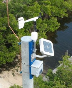
Begun in 2007 in response to emerging needs in the fields of civil engineering, emergency management, hurricane research, and risk mitigation, the WeatherFlow Hurricane Network includes 100 specialized stations, placed near coastal urban concentrations and are specifically designed to withstand the conditions associated with a landfalling hurricane. With instruments designed to survive winds of 140 mph, these stations are fully self sufficient – no external power or communications devices are needed.

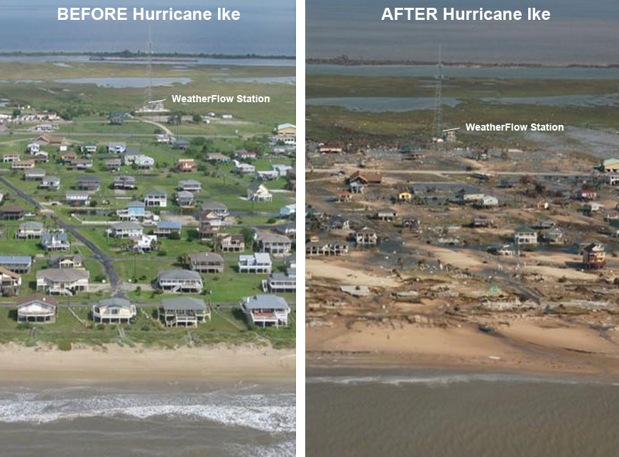
The Hurricane Network has proven itself repeatedly, including two significant landfalling storms. The first came in September 2008, when Hurricane Ike made landfall on the Texas coastline with wind gusts over 110 mph. All 7 WeatherFlow Hurricane Network stations in the Houston/Galveston region stayed on line and collected data throughout the storm – a 100% success rate that is a testament to the planning and preparation that went in to these stations.
Likewise, Hurricane Irene made landfall along the coast of North Carolina in August 2011 and proceeded north, impacting much of the Eastern Seaboard. During Irene’s passage, more than three quarters of the Hurricane Network stations were impacted by winds from the storm, including gusts to 92 mph experienced at Fort Macon, North Carolina. As with Hurricane Ike, Hurricane Network stations sustained* a 100% success rate, capturing data from more than 600 miles of coastline. For more details, see our press release.
