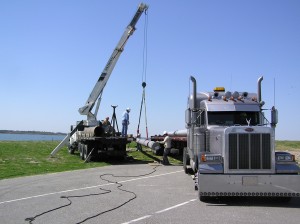
The first step in establishing the Hurricane Network was to develop and execute a plan for the appropriate location and density of stations. The objective was to capture a hurricane’s spatial variability and overall impact in the areas where an event is most likely and where it will have the greatest impact. This process incorporated a combination of coastal geography, hurricane climatology, hurricane structure, and economics, with the 100 stations being placed so as to allow for a dramatic improvement in the recording of events along the Gulf and East coasts, with an emphasis on the regions that have the greatest economic and population vulnerability.
